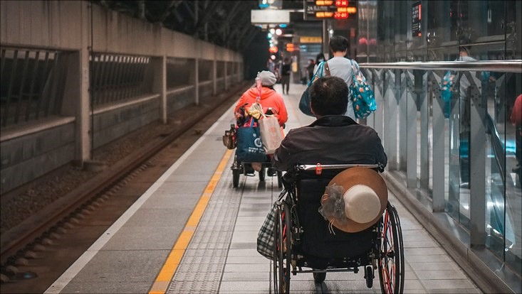
Citizen Science for Wheelchair Indoor Positioning
lisanto/unsplash
The "CitSci" project aims to design, develop and validate an indoor routing application for wheelchair users, which also offers users the opportunity to provide their own collected data to improve routing in the sense of a citizen science approach. The specific idea for the project came about while working on various university projects and final theses, which focused on problems relating to barrier-free routing and indoor localization of wheelchair users as well as decentralized data sharing.
In order to implement the project, it is firstly necessary to realize a sufficiently accurate self-localization of wheelchair users in combination with a map that works both inside and outside buildings. On the other hand, the possibility of self-determined and possibly selective sharing of data with decision-makers or other relevant actors is considered a conscious participation through the provision of data by the users.
In principle, the scope of the project can be divided into the areas of self-localization, mapping, routing and visualization. A combination of GPS and inertial measurement units is used to achieve self-localization. While self-localization outside buildings is no longer a challenge since the development of GPS, there has been no leading development in the field of indoor positioning due to problems such as cost efficiency, required infrastructure or accuracy. Since a wheelchair does not have the elementary problem of step length detection in this area of research, good results are possible even using inertial measurement units. In addition, it is necessary to modulate any environment as a 2D map. For this purpose, freely available map material can be used outside buildings, while the interiors of buildings such as subway stations can only be created using construction plans.
The routing area has two main focuses. Firstly, route finding between the starting point and destination is an essential part of the system. Secondly, the routes taken by all users of the system are recorded. With this data it is possible to improve the routes suggested by the application and to optimize them if necessary. Another important aspect is the theoretical potential to use this data to improve the planning of public buildings by the city. By implementing a decentralized network within which the data is shared with selected stakeholders in a self-determined manner, a citizen science approach is implemented. Data protection and control over one's own data play a central role here. The visualization is to take place by means of an application on a mobile device, on which the users are shown their positions on the map as well as the fastest route between two points.
All artifacts and findings developed in the project are obtained with a view to reusability. The sustainable handling of project results begins with building on components and software elements developed in previous projects and ends with the public provision of project results at the end of the project.
And here the student group in their own words:
Studierendenprojekt: Citizen Science for Wheelchair Indoor Positioning
Förderzeitraum: 01.10.2022 - 30.09.2023 (12 Monate)
Studierende: Katharina Gerdes, Leonard Caanitz & Anton Semjonov
Mentor: Prof. Dr. Janick Edinger