Development of a crowd remote sensing app to classify and visualize dangerous regions in the city centre
Samson Katt / Pexels
From traffic congestion and unsafe road conditions to potential threats to our personal safety such as vandalism and poor street lighting, there are many risks that can affect our well-being and quality of life. The main problem is that we are not always aware of these risks and therefore unable to respond appropriately. These information gaps can lead to unsafe decisions and dangerous situations.
This is exactly where the CityGuard project comes in. Digitalization allows us to exchange relevant information in real time via the internet in order to support each other. A freely available platform can help to raise awareness of dangers and improve people's safety. By using geodata and the collective intelligence of the crowd (larger amount of people like a community), a more comprehensive picture of the security situation can be created. This enables platform users to make informed decisions and protect themselves from potential threats. An application that implements such a platform addresses the socially relevant issue of security and promotes cohesion and solidarity within the (local) community.
The CityGuard project is based on a data challenge by inovex GmbH in cooperation with the Digital and Data Literacy in Teaching Lab as project sponsor, in the context of which a concept and the basic functionalities of a crowd remote sensing app are to be developed.
Our aim is to explore the extent to which a data-driven platform can contribute to improving urban safety and quality of life. In particular, we want to find solutions to the following questions:
1. what technologies and infrastructure are needed for such an application and for collecting and analyzing the data?
2. how can the safety of regions in the city be measured by simple questions in order to obtain meaningful data that is not heavily distorted by false reports and spam and to guarantee the anonymity of users and other aspects of data protection?
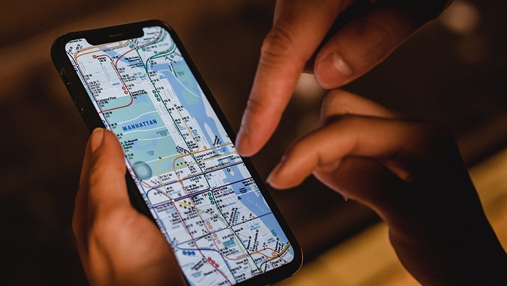
As part of the project, a prototype app for the classification and visualization of dangerous regions in the inner city is to be developed, offering users a platform for the exchange of data on risk factors. A city map is to be displayed on which users can see their location as well as areas relevant to selected risk factors. In addition, an algorithm that calculates routes to make it easier to avoid these areas could also be implemented in the project or beyond.
In addition, a concept is to be developed and implemented that enables a responsible mechanism for the automatic collection and evaluation of data using remote crowd sensing. In order to collect the necessary data, users can submit hazard reports and issue all-clear warnings for certain areas. The app is designed to support different categories of risk factors such as vandalism, accidents, pollution/littering, road damage/walkway damage, pest infestation, storm damage, alcohol abuse and inadequate street lighting, among others. By combining these functions, the project offers an innovative solution for improving safety in the city center through the active participation of users.
And here the group in their own words (German):
Studierendenprojekt: Aufbau einer Crowd Remote Sensing App zur Klassifizierung und Visualisierung gefährlicher Regionen in der Innenstadt
Förderzeitraum: 01.10.2023 - 31.03.2024 (6 Monate)
Studierende: Duru Zeynep Kececi, Marvin Mielchen
Mentor:in: Dr. Lothar Hotz, Eylem Tas